Split Shape Manipulation Command
This command is designed to split a single existing shape feature into two smaller areas and is activated via the key-in: Ptopo split
When activated an associated toolbox is displayed appearing as follows:

This gives you control over which persisted topology layer is being processed. All available layers will be present in the pull down combo selection item; however, you must select the appropriate layer for the shape features being acted upon.
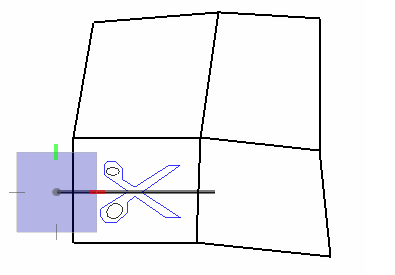
You then proceed to draw a line or line string across the polygon to be split. When you press reset, the drawn cut-line is processed against the existing topology graph and the smaller area features replace the larger polygon crossed by the cut-line. The newly created features will have properties generated pursuant to any user-defined split policy specified via Bentley Geospatial Administrator.
Only one polygon at a time may be split with this command.
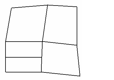
For example, drawing this cut-line:
Will produce the following: